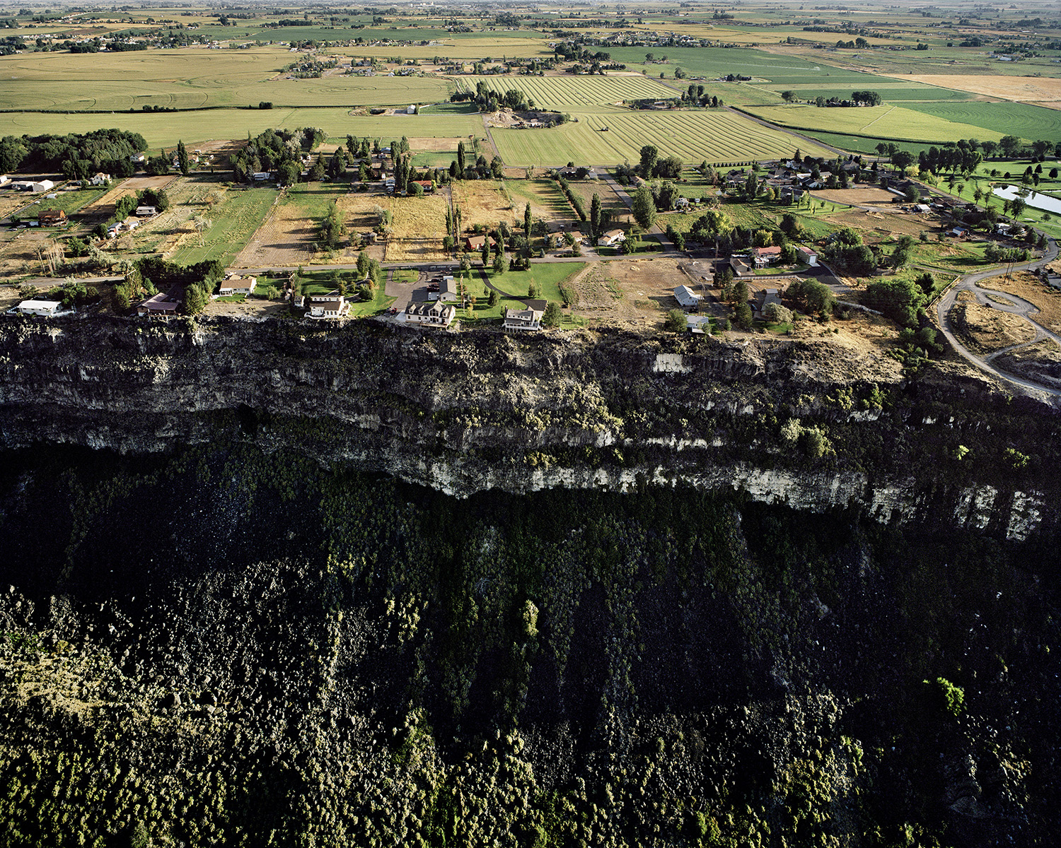
Twin Falls, Idaho is a rural city of 40,000 people in the middle of the Snake River Plain. Many things
converge over this innocuous, fairly banal Western town: the plain itself, the lava flows that built it,
the river that cut it over eons into a spectacular canyon, and the hydraulic engineering that has
made it one of America’s most productive agricultural breadbaskets. The city’s 212-foot tall
Shoshone Falls, imaged most famously by US Geological Survey photographer Timothy H. O’Sullivan
in 1868 and 1874, are a quiet national icon, the “Niagara of the West,” although much
domesticated and diminished today by hydroelectric generation and dams. The “Magic Valley,” as
its prosperous residents call it, offers a rich window into the tensions and follies of the privatized
American dream, particularly as manifested in residential architecture. Somewhere between
packaged suburban tract home and ranting McMansion, Twin Falls’ homes are a primary and
enduring personal projection into the landscape, matched, surrounded and only made stranger by
the region’s thorough cultivation. From above, the vestiges of Thomas Jefferson’s agrarian utopia
crashes head-on into the selfishness of contemporary trophy-home mediocrity.
Hand-made book of 16 aerial images photographed by Michael Light in March 2009. Printed on Epson
Enhanced Matte paper using archival Epson Ultrachrome 3 pigment inks, adhered with archival Gudy 831
double-sided pressure adhesive. Archival stability well exceeds c-print standards. Custom box by John
DeMerritt Bookbinding, Emeryville, CA. Edition of 10, signed on rear cover.


